Greene County Property Records
Greene County property records are managed by the County Auditor and County Recorder in Xenia. Kraig Hagler serves as County Auditor and his office handles all property valuations and tax calculations. You can search for deeds, tax data, and parcel information through the Auditor's online tools or visit the courthouse in person. The Recorder keeps deeds, mortgages, and liens on file for public access. The GIS Office provides maps with property boundaries, lot numbers, and aerial views. Ohio law makes all of these records public and free to inspect.
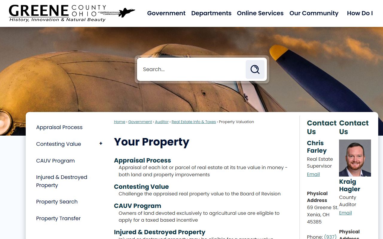
Greene County Property Overview
Greene County Auditor Office
The Greene County Auditor is the chief assessor for all real property in the county. Kraig Hagler holds this role. The Greene County Auditor's website provides free access to property data through an online search system. You can look up any parcel by owner name, address, parcel ID, or sales information. The site also has tools for viewing delinquent tax lists, GIS maps, and Board of Revision cases. Sales reports and neighborhood data are available for download.
The office is at the Greene County Courthouse in Xenia. Walk in during business hours to view records or get copies of documents. The Auditor's staff can help with questions about property values, tax bills, and assessment methods.
Ohio law requires a comprehensive reappraisal every six years with a triennial update at the three-year mark. Greene County follows this cycle and adjusts values based on sales data from the local market. The Beavercreek area tends to have higher values than the rural parts of the county.
The Greene County GIS Office provides maps with property data, aerial views, and boundary info.
Use the GIS maps to view property addresses, lot dimensions, and aerial photos for any parcel in the county.
Search Greene County Property Records
Start at the Auditor's website. The search tool lets you type in an owner name, street address, or parcel ID. Results show the owner, property address, legal description, and current values. Building details list square footage, year built, and construction type. Sales history goes back several years with dates, prices, and party names.
The Greene County property valuation page gives you another way to view property information and history. You can access taxes and assessed valuations through this tool. It is useful for checking how values changed over time.
The Greene County delinquent tax list shows parcels with past-due taxes. The list has parcel numbers, owner names, school districts, addresses, and tax amounts. You can export the full list as a CSV file. This is helpful if you are looking for tax sale properties or checking on a specific parcel's tax status before buying.
Note: Greene County property data shows both market value and assessed value at the 35% rate required by Ohio law.
Greene County GIS and Maps
The Greene County GIS Office runs the property maps online tool. Maps show property addresses, dimensions, lot numbers, and aerial views. County road maps are available in front and back views. County tax maps include building outlines, street names, township borders, and GPS coordinates. The Greene County GIS Public Access System lets you print maps in full color.
Under ORC Section 149.43, these maps and records are public. You can view and print them at no charge. The GIS office updates parcel data on a regular basis to reflect new surveys, subdivisions, and transfers.
Greene County Recorder and Deeds
The Greene County Recorder's Office stores all official land documents. This office files deeds, mortgages, liens, easements, and other instruments that affect real property title. When land changes hands in Greene County, the new deed must be recorded here. The Recorder also keeps deed indexes (direct and reverse) and plat books that go back many years.
Before any deed can be recorded, the buyer must present it to the County Auditor along with a Conveyance Fee Statement (DTE Form 100) under ORC Section 319.202. Copy fees run $2 per page with a $1 certification fee per document. The Recorder is at the Greene County Courthouse in Xenia.
Greene County Property Tax Records
Property taxes in Greene County fund local schools, roads, and public safety. The Auditor sets assessed value at 35% of market value under ORC Section 319.54. Tax rates use mills. One mill equals $1 of tax per $1,000 of assessed value. The Ohio Property Tax Rate Database shows current rates for all taxing districts in Greene County, including Xenia Community CSD, Beavercreek, and other school districts.
The Ohio Department of Taxation certifies value changes based on sales ratio studies after each reappraisal. Conveyance fees follow the state cap of $4.00 per $1,000 of sale price under ORC Section 319.20.
Homestead Exemption in Greene County
The Homestead Exemption shields up to $25,000 of market value from taxation. Homeowners age 65 and older qualify. So do those with a permanent disability. Your Ohio Modified Adjusted Gross Income must be under $40,000. You must own and live in the home as your main residence.
Apply by December 31st. The form must be signed under penalty of perjury. A false statement is a fourth-degree misdemeanor. If convicted, you must repay exempted taxes plus interest and lose eligibility for three years. Contact the Greene County Auditor's office in Xenia for the application form and help with the process.
Greene County Property Research Guide
Greene County has a guide to researching historic properties. It lists the key offices and records you need. The Auditor's Office has online searches by owner name, address, parcel ID, and sales info. The Auditor's Duplicates hold recent tax records. The Recorder's Office has deed records, deed indexes, and plat books. The GIS Office provides property maps, county road maps, and tax maps.
This guide is handy if you are looking into older properties or tracking ownership chains back in time. The Recorder's deed indexes list transfers in both direct (grantor) and reverse (grantee) order, making it easier to trace a chain of title.
Note: The CAUV program provides separate tax relief for farmland of ten or more acres used for commercial agriculture in Greene County.
Greene County Property Resources
The GeoOhio Statewide Parcel Viewer lets you search parcels across county lines and links back to the local Auditor site for full details. This is helpful when a property sits near the Greene County border with Montgomery, Clark, or Fayette counties. The viewer is free and open to the public.
Nearby Counties
Greene County sits in southwest Ohio east of Dayton. If you need property records from a neighboring county, these pages may help.