Fairfield County Property Records
Fairfield County property records are kept by the County Auditor and County Recorder in Lancaster. The Auditor tracks all land values and tax data for more than 71,000 parcels across the county. You can search for any parcel by name, address, or parcel number through the Auditor's online system. The Recorder files deeds, mortgages, and liens that show who owns what. Both offices sit at 210 East Main Street and are open on weekdays. Ohio law treats these records as public, so you can look them up at no cost through the county website or in person at the courthouse.
Fairfield County Property Overview
Fairfield County Auditor Office
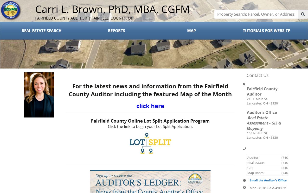
The Fairfield County Auditor is the chief assessor for all real property in the county. This office sets fair market values on land and buildings, then calculates each tax bill based on local levy rates. The Fairfield County Auditor real estate portal gives free access to property data through a Parcel Quick Search tool. You can pull up any parcel by owner name or street address. Results show ownership, assessed value, market value, tax history, and building details. The system also has aerial photos going back to 2000, with shots from 2006, 2009, 2012, 2015, 2017, 2018, and 2020. School district maps and subdivision plats are built right in.
The office is at 210 East Main Street, Room 201, Lancaster, OH 43130. Call (740) 652-7020 with questions. Hours run Monday through Friday. For CAUV questions, call (740) 652-7030.
FEMA floodplain data is tied into the mapping system too. You can check if a parcel sits in a flood zone right from the search results. Soil type summaries show acreage by soil class, which matters for farm valuations and CAUV applications in Fairfield County.
The Fairfield County Auditor real estate site is the main portal for property searches and tax data in Fairfield County.
Use the Parcel Quick Search bar to look up records by owner name or address and view full property details.
Search Fairfield County Property Records
Start at the Auditor's real estate site. The Quick Search bar is right at the top. Type in a name or address and the system pulls up matching parcels. Each result page shows the owner, property address, legal description, and current values. You can also see building details like square footage, year built, and construction type. Sales history goes back several years and shows past prices, dates, and buyer and seller names.
The GIS mapping tool gives you another way to find parcels. Click on the map to zoom in and tap any lot to see its record. Property lines show over aerial photos so you can see lot shapes. These maps serve tax purposes. They show approximate lines. For exact boundaries, hire a licensed surveyor.
Under ORC Section 149.43, all property records held by Fairfield County offices are public and free to inspect during business hours. You can view them online or walk into the courthouse.
Note: Fairfield County property search results show both market value and the assessed value at the 35% rate set by Ohio law.
Fairfield County GIS and Mapping
The Fairfield County GIS Department manages all the county's mapping data. Curt Truax runs the department, and the staff keeps parcel lines, address points, and aerial images up to date. You can download GIS data layers for your own use. The available layers cover parcels, address points, annexations, contour data, corporation boundaries, fire districts, flood hazard areas, school districts, subdivision boundaries, survey locations, and tax maps.
All data uses the Ohio South State Plane Coordinate System. The horizontal datum is NAD 83 and the vertical datum is NAVD 88. Units are in surveyors feet. Call (740) 652-7055 with questions about GIS data or mapping in Fairfield County.
Ortho imagery is available at different resolutions. The 2019 set has 6-inch resolution, which is the sharpest. Earlier sets from 2014, 2016, 2017, and 2020 use 1-foot resolution. These images help with property boundary checks and land use studies.
The Fairfield County GIS portal provides data downloads and mapping tools for property research.
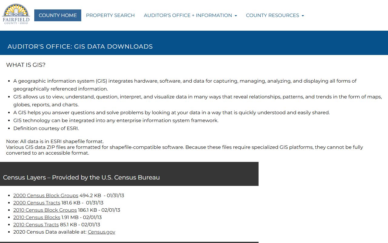
Download parcel data, address points, flood maps, and other GIS layers for free through this site.
Fairfield County Recorder and Deeds
The Fairfield County Recorder's Office stores all official land documents. This office files deeds, mortgages, liens, easements, and other instruments that affect real property title. When land changes hands in Fairfield County, the new deed must be recorded here to give public notice of the transfer.
The Recorder works with the Auditor to keep property records accurate. Before any deed can be recorded, the buyer must present it to the Auditor along with a Conveyance Fee Statement (DTE Form 100) under ORC Section 319.202. Copy fees run $2 per page with a $1 certification fee. The office is in the Fairfield County Courthouse on East Main Street in Lancaster.
Fairfield County Property Tax Records
Property taxes in Fairfield County fund schools, roads, and public safety. The Auditor sets assessed value at 35% of market value under ORC Section 319.54. Tax rates use mills. One mill equals $1 of tax per $1,000 of assessed value. The Ohio Property Tax Rate Database lists current rates for all taxing districts in Fairfield County.
Ohio law requires a full reappraisal every six years with a statistical update at the three-year mark. The Ohio Department of Taxation certifies value changes based on sales ratio studies. Conveyance fees follow the state rate of $4.00 per $1,000 of sale price under ORC Section 319.20. Land use codes in Fairfield County range from 100-199 for agriculture, 500-599 for residential, and 429-499 for commercial properties.
Homestead Exemption in Fairfield County
The Homestead Exemption shields up to $25,000 of market value from taxation. It is open to homeowners age 65 and older or those with a permanent disability. Your Ohio Modified Adjusted Gross Income must be under $40,000 to qualify. You must own and live in the home as your main residence.
Apply by December 31st of the year you want the exemption. The form must be signed under penalty of perjury. Making a false statement is a fourth-degree misdemeanor and you must repay exempted taxes plus interest. Call the Fairfield County Auditor at (740) 652-7020 with questions about the application.
Note: The CAUV program offers separate tax relief for farmland of ten or more acres used for commercial agriculture in Fairfield County.
Fairfield County Property Resources
The GeoOhio Statewide Parcel Viewer lets you search parcels across county lines and links back to the local Auditor site for full details. This is helpful when you need to compare Fairfield County properties with those in nearby areas. Both the Parcel Viewer and the Parcel Land Use Lookup are open to the public. You can search by address and the system shows land use codes tied to each parcel.
For questions about the real estate search tool, call the Auditor's real estate office at (740) 652-7030. The Fairfield County land use code list breaks down all property types. Agriculture runs codes 100 through 199. Residential is 500 through 599. Commercial falls between 429 and 499. Exempt properties use codes 600 through 699.
Nearby Counties
Fairfield County sits in central Ohio southeast of Columbus. If you need property records from a neighboring county, these pages may help.